Hello,
I would like to know how near the epw file need to be to the project location?
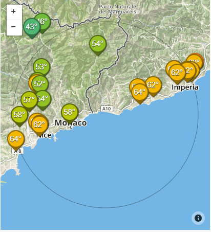
I mean, I’m in a Italian town named Ventimiglia and I’ve found the epw file of the Sanremo station that is at about 30 km distant. Could be enough to use these data or I need to find the exactly data of my project?
Thanks a lot,
Best Regards,
You’ve arrived at one of the major limitations of using airport weather data (EPW). As you have observed, your closest weather station is located 30 km away…and that’s just the distance. Your town may also experience unique microclimate effects due to topography, urban density, or other geological features.
It can be difficult to quantify your microclimate and most students, researchers, and practitioners will just note the limitations of their closest EPW file and present these with the findigns. For academic purposes, this is acceptable as long as you can describe what differences in climate you may expect in your actual location.
If you are keen to develop a site-specific weather file, new tools are emerging. Hopefully other users of this forum can contribute because there are plenty of tools to either simulate on-site conditions or merge weather files. If you suspect that your building is subject to urban heat island effect, I would suggest you explore Dragonfly. Meteronorm is another tool that will merge data from two weather files to create a new file representative of a point between the two existing weather stations. Also, you may want to check Weather Underground for Ventimiglia. It appears that there are Personal Weather Stations in that area that may be able to provide insights into micro-climatic conditions. You can even look to create weather files from these stations!
2 Likes