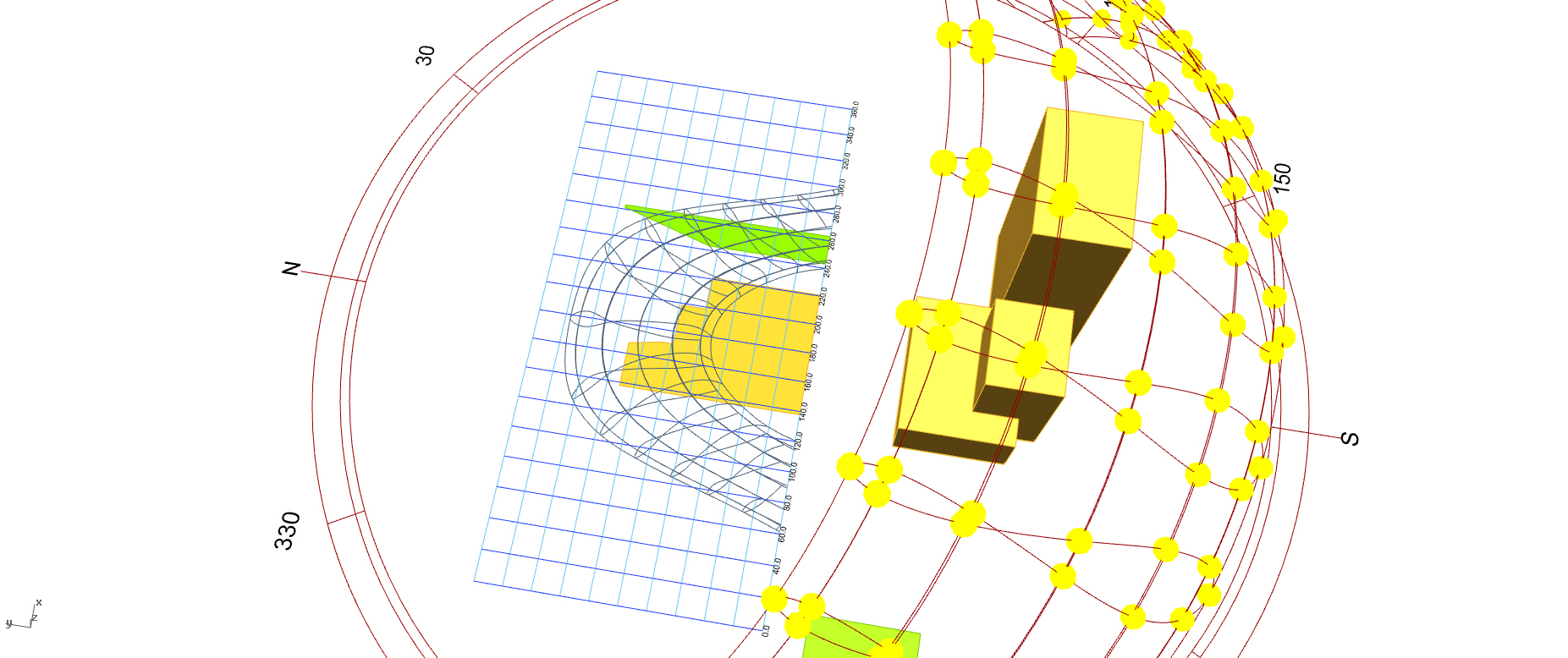
Check this file which I created while ago for a similar discussion. The trick is to map altitude and azimuth angles to x, y values.
waldram.gh (418.1 KB)
Check this file which I created while ago for a similar discussion. The trick is to map altitude and azimuth angles to x, y values.
waldram.gh (418.1 KB)