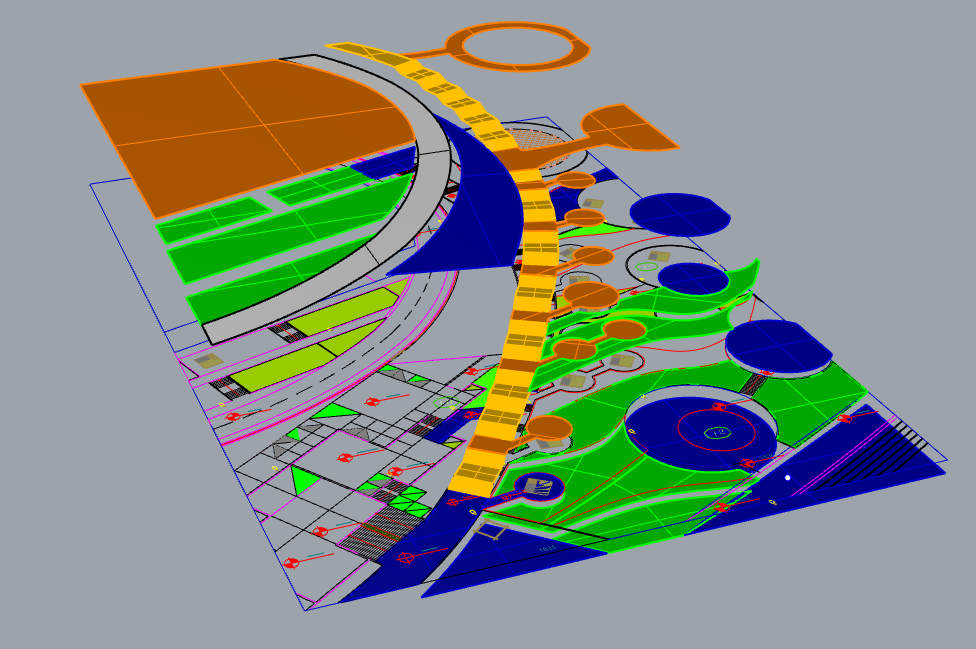
I am working on a landscape project, and I want to investigate the influence of green corridors/ water walls on local thermal comfort, and I am a beginner to ENVI-MET and Dragonfly.
but the park I’m working on, is located on a sloped terrain, which makes its ENVI-MET modeling challenging for me as an amateur.
does anyone have a tip on how can I model this area? should I flatten the whole region? are there any simplification methods?
Thank you in advance for your tips and suggestions.
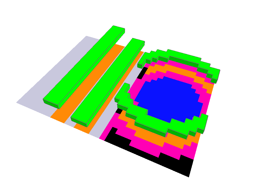
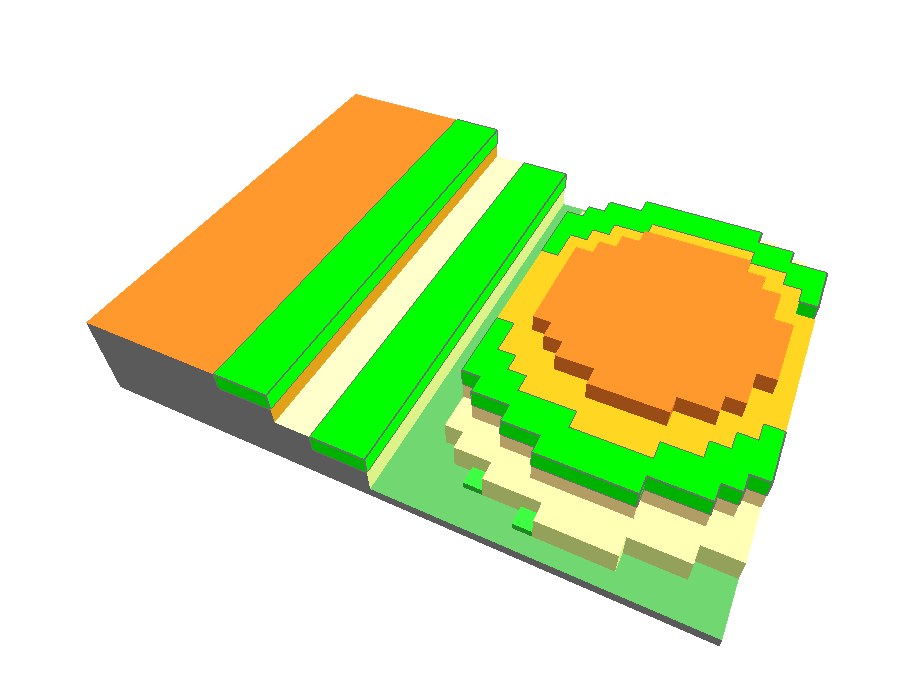
You could model the elevation using the “DEM” (try to merge all surfaces in a single mesh using a native component of GH). Whilst the different surface material (pavements, alsphalt and so on) are “soil” objects on World XY plane.
I am currently experiencing the same problem. Can I import my sloped topography into ENVI-met using Grasshopper? I do not need to differentiate the surface materials; I only require the topography curves.