Hi all,
In my paper, I need to compare the simulated outdoor air temperature with the measured air temperature. I tried to calculate the outdoor air temperature using UTCI, but the results I simulated (using the sample file) showed no change in the outdoor air temperature. Is this result normal? Or do I need to do something else?

Hi yyk,
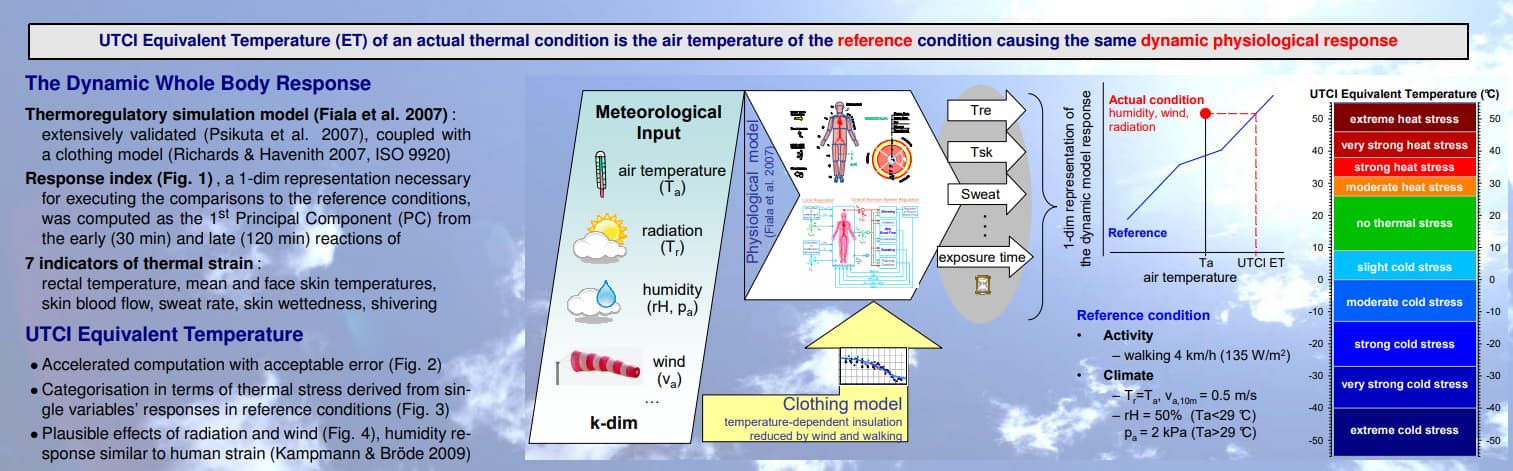
UTCI is a essentially a “feels like” temperature, combining the effects of air temperature, radiation, air speed, activity level on human perception. This is from the UTCI website.:
http://www.utci.org/utci_poster.pdf
So that result is normal, the air temperature isn’t going to be changed by the UTCI component.
Thanks a lot charlie.
But NOW I need to compare the consistency of the data measured in the field with the simulation results in my paper. Which component do I need to use to simulate outdoor environmental data including air temperature, relative humidity, etc.?
I’m not sure there’s an easy answer for you, it will depend on what you’re trying to achieve from your study. Off the top of my head factors like how many locations you’ve got recorded data for, what’s the distance between them, how many hours of data, etc would shape your approach.
It sounds more like a CFD study to me if you’re concerned with a single point in time and have recorded data for multiple locations in a relatively limited area and then also have data from the same point in time from an official weather station remote to the site - that’s just one example of what your study could look like.
The energy plus based simulations in HB aren’t designed to simulate spatial variations in external air temperature and humidity that it sounds like you’re looking for.
Hi charlie
Thank you for your reply to my question.
My research focuses on small-scale urban outdoor public space. I hope to investigate the influence of different spatial shielding design and vegetation designon on outdoor environmental performance. Usually ENVI-Met is used to predict environmental performance like this.
I am a beginner on Ladybug Tools. I wonder if I can make similar predictions with this? My original idea was to generate the EPW of the urban environment through Dragonfly UWG, and then simulate the outdoor environment with HB+BF. Could such an approach achieve similar results?
Hi ykk,
I haven’t used ENVI-Met, but looking at its modules here (intro:modelconept [A holistic microclimate model]) it includes a lot of different methods, including some CFD, in its simulation to get spatial variation in air temp/humidity that you’re looking for.
As far as I’m aware there’s no simple way to replicate this entire approach in Ladybug tools, although I’m not familiar with CFD or the butterfly components, so I could be wrong.
I think your general approach sounds good, but not sure LBT currently has the capability to tie all those aspects together.
1 Like
Hi there,
So far, LB does not simulate changes in outdoor air temperature. Simply, the module uses air temperatures from the weather file, so regardless the number of location points you have, it will use the same air temperature in a certain hour in the weather file to represent these points. Also, using Butterfly to do CFD analyses still does not simulate changes in air temperature. So, apparently there’s nothing thus far can do what ENVI-met does.
Regards,
2 Likes
That’s the correct answer, @YASSER_IBRAHIM , and the comfort maps will always use the EPW air temperature for all outdoor sensors.
However, I think it’s also worth noting that outdoor air temperatures usually do not vary much within a given urban district. To phrase it another way, the differences in radiant temperature that you find across an urban area will usually be an order of magnitude (or two) larger than the air temperature differences. Granted, over large distances like the center of a city to the rural area, you can find that the urban heat island effect will cause the city temperature to be a degree or two above the rural one after sunset. But this should be accounted for by using the Dragonfly Urban Weather Generator (UWG) workflows, which can morph the airport EPW to account for the effects of the urban area.
2 Likes
Hi yyk,
Did you manage to solve this? This is something I want to work on and I’m curious to know how did it go.
Cheers!