If I’m up to date, it seems that the terrain generator is still not functional… is that true?
If I have a raster, why not just build an ascii matrix of elevations and dump them in the XML? I copied and pasted and it seemed to open in Spaces OK. Couldn’t this be done easily in grasshopper?
PS., I tried to join the envi-hq board but never got a response.
Hi @ivandaniel,
Dragonfly envimet has a terrain functionality. You can connect a single surface to “df envimet terrain” and generate a DEM.
Yes, you can use your approach. Did you test it with a 2d model or a 3d detailed model?
Regards,
Antonello
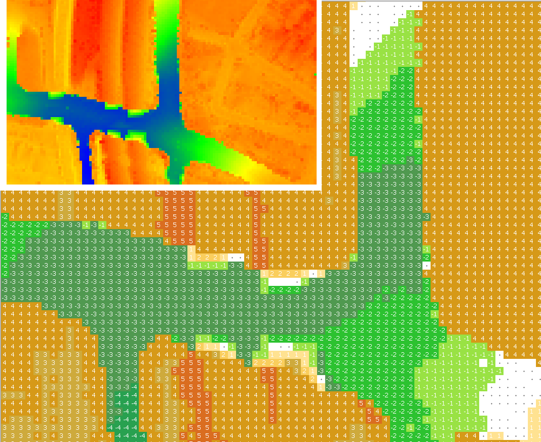
@AntonelloDiNunzio – The terrain I want to digitize has sharp changes in elevation, so a nurbs surface can’t approximate it.
I used a spreadsheet to invert the order of rows in the matrix and round to integers.
So I guess my question is: am I crazy to try to sim this canyon? I am consistently getting errors about dividing by zero.
Hi @ivanhyphae,
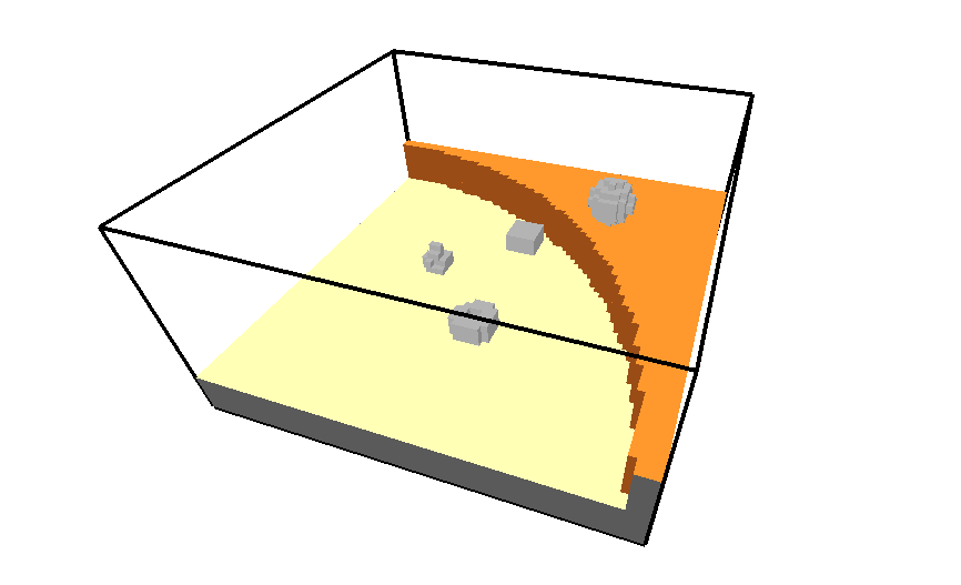
based on your suggestion, I have just added possibility to add a closed mesh directly to achieve a terrain with sharp changes:
Regards,
Antonello
That’s awesome! I’ll check it out and let you know how it goes.
Out of curiosity, how did you place those trees?
@AntonelloDiNunzio
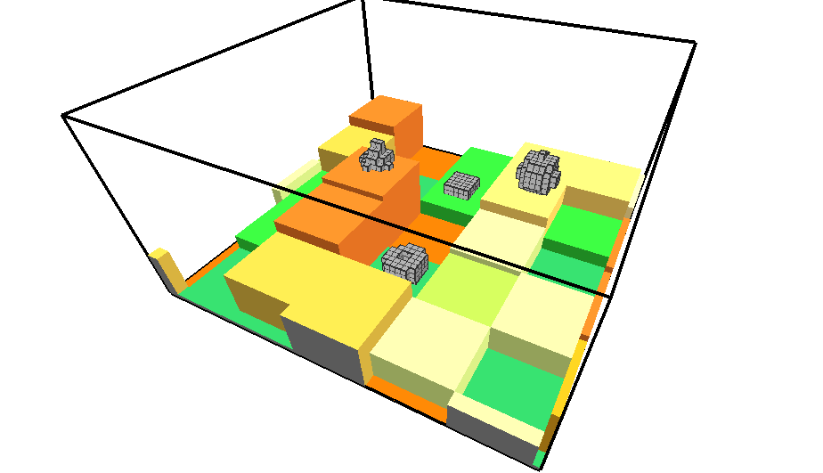
I have tested the component and ran into some trouble. It was working for a small test with a canyon resembling the one above, but I broke it somehow when going to a more complex volume.
I am getting an error in the Rhino console, “Curves were not co-planar. Projecting to active cplane.” I tested with just a basic mesh box and that seems to work OK, and I also tested it with a simplified version of the canyon that has a flat bottom and no slopes in it.
I was going to upload a .gh with the mesh internalized but I’m too new of a user.
Your thoughts?
Hi @ivanhyphae,
I have opened an issue for it: #issue2.
It could be useful to have some test cases. I need to look at it deeply and improve this part.
Thanks,
Antonello