Hi!
I’m trying to figure out how to generate a terrain in LB, and have tried both the construct_location component and importing a weather file. However both cases give me as output.

Any pointers?
BR Annagha
Hi!
I’m trying to figure out how to generate a terrain in LB, and have tried both the construct_location component and importing a weather file. However both cases give me as output.
Any pointers?
BR Annagha
Hi @AnnaghaMital,
it does not work because Google requires an API key to use its service.
For more details see this reply:
Terrain Generator API question
Regards,
Antonello
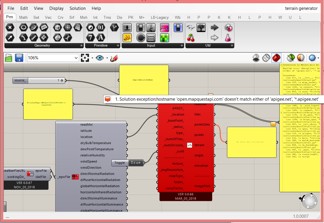
Hi , I’m using this code and I get this error
Hi @sherminsh,
there is an issue with the protocol https, here is from the latest documentation of MapQuest:
http://open.mapquestapi.com/elevation/v1/profile?key=KEY&shapeFormat=raw&latLngCollection=39.74012,-104.9849,39.7995,-105.7237,39.6404,-106.3736
To fix it:
https with httpI will fix it also on GitHub soon, also because its tab is wrong. It needs to be updated to be in LB-Legacy.
Best,
Antonello
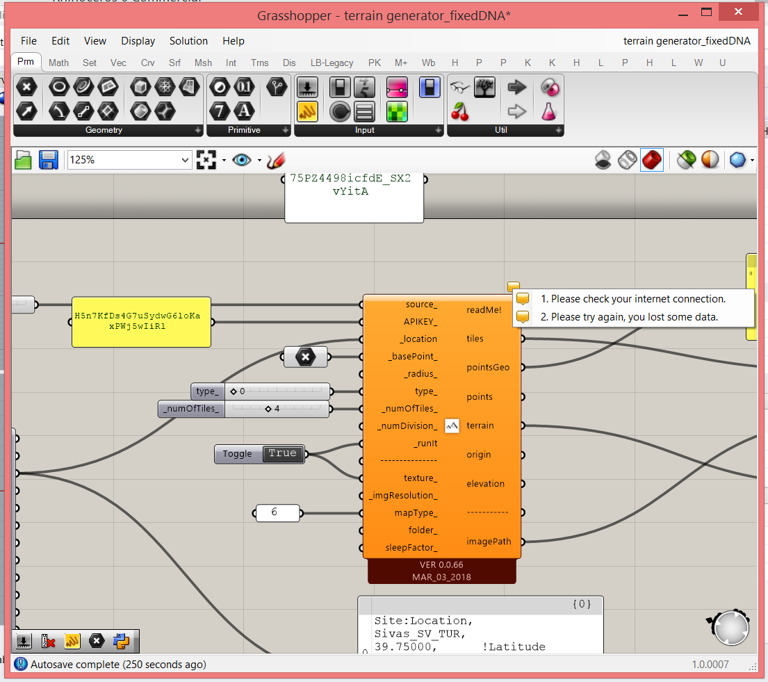
Hi ,thank you for your answer . I did it and the error disappeared. but there is no result yet and I get this warnings(i do have internet connection)
Hi @sherminsh,
could you share the EPW Location that you are using?
I need latitude, longitude, altitude.
Thanks,
Antonello
P.S. hide your API Key in the screenshots.
I used different epws because I’m not working on a specific area and i need the terrain generator to begin my code . However, all epws that I used have this same error . Here is the epw link of the latest one that I tried : https://www.energyplus.net/weather-download/europe_wmo_region_6/BGR//BGR_Plovdiv.156250_IWEC/all
Site:Location,
PLOVDIV_BGR,
42.13, !Latitude
24.75, !Longitude
2.0, !Time Zone
185.0; !Elevation
Thanks a lot
Shermin
Hi @sherminsh,
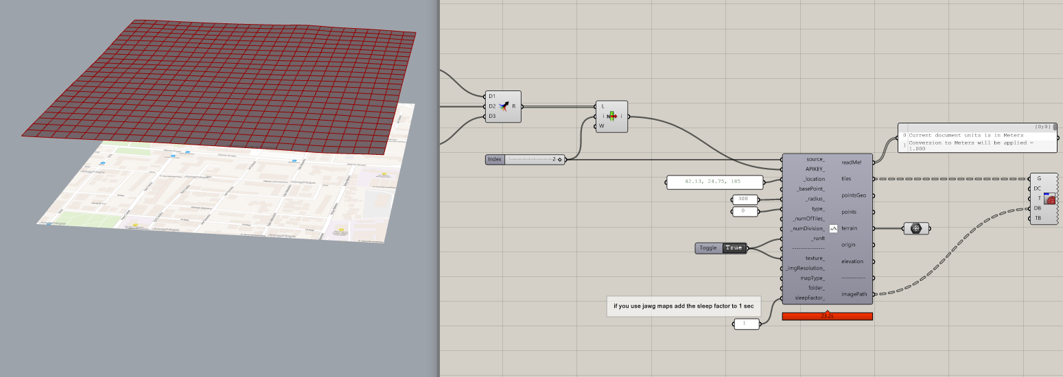
A test:
Please, download this version here and try it. I suggest you use jawg because it has a better elevation data accuracy than MapQuest for now.
Note, I have added also static maps of Jawg API.
If you know python, feel you free to improve it.
Best,
Antonello
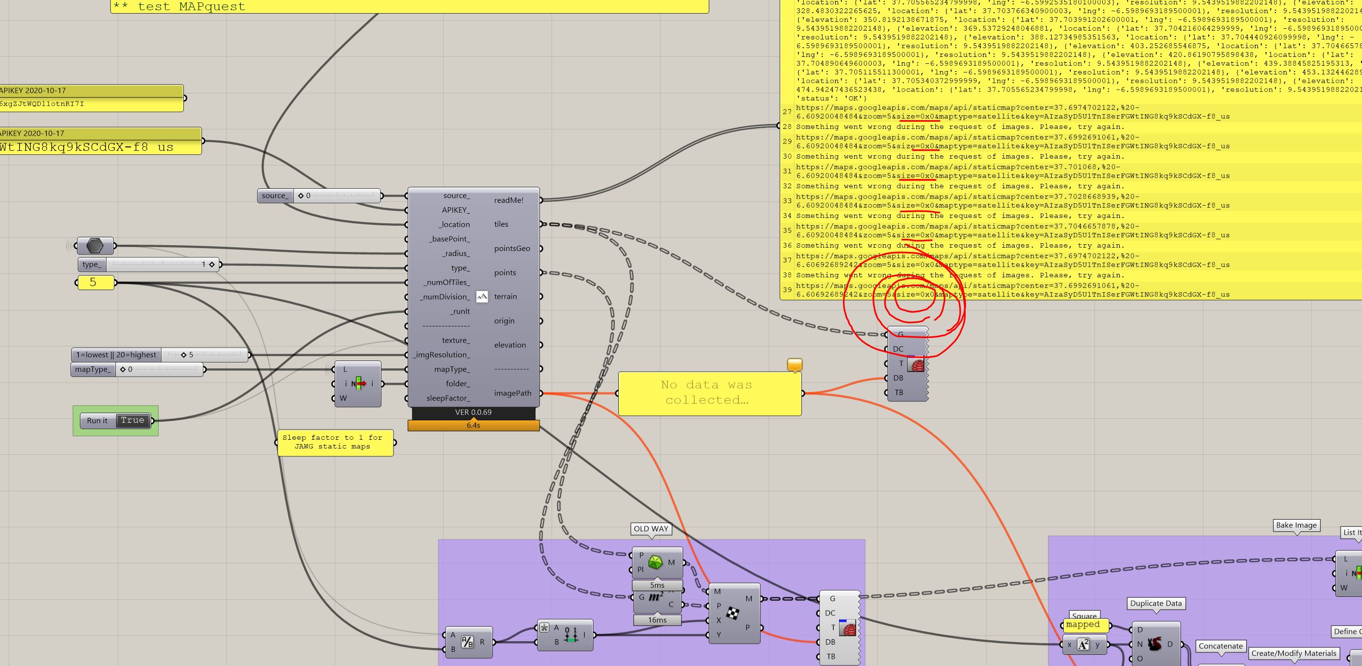
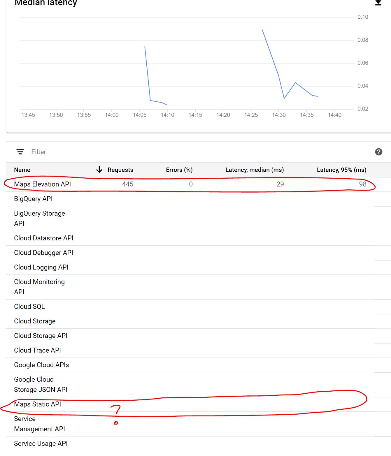
Did you tried the generate map with Google API recently ? They changed their billing plan. You now have to pay for Maps static API and Maps elevation API (althought its around ~8usd/1000 requests for both). A chance that for new users you have a 90 day free trial. (although… I didn’t have it anymore so I have to be carefull in my tests!)
I do have issue (like I remember I had in the past with static maps… ) I have the topography, but it didn’t request any Image from the Map static API…
Regarding that issue, would it be possible to implement a toggle button just to request new images ? not topography again.
Although, I tried the MAPquest API as its free under 15 000 requests/ months. I get the topography but not images… I had errors… I tried change img res but without succes.
Thanks 
-CC
Hi @CharlesCollin,
thanks for your tests and updates.
I did not check the Google API, I need to check endpoints, paths and what is going with them.
Maybe a good strategy could be by splitting the component into two parts, one for texture and one for elevation.
about MAPquest, I think the problem is the same, the protocol in the endpoint:
http://www.mapquestapi.com/staticmap/v5 instead of https://www.mapquestapi.com/staticmap/v5
Best,
Antonello
it would be indeed a great solution to split the component in two!
Let me know if you find anything regarding google static map API. I don’t have much alternative for now (descent mesh resolution based on precise data + satelite IMG mapped onto).
BTW mapquest (changing Https for http) isn’T working. Still have no image.
Regards,
-CC