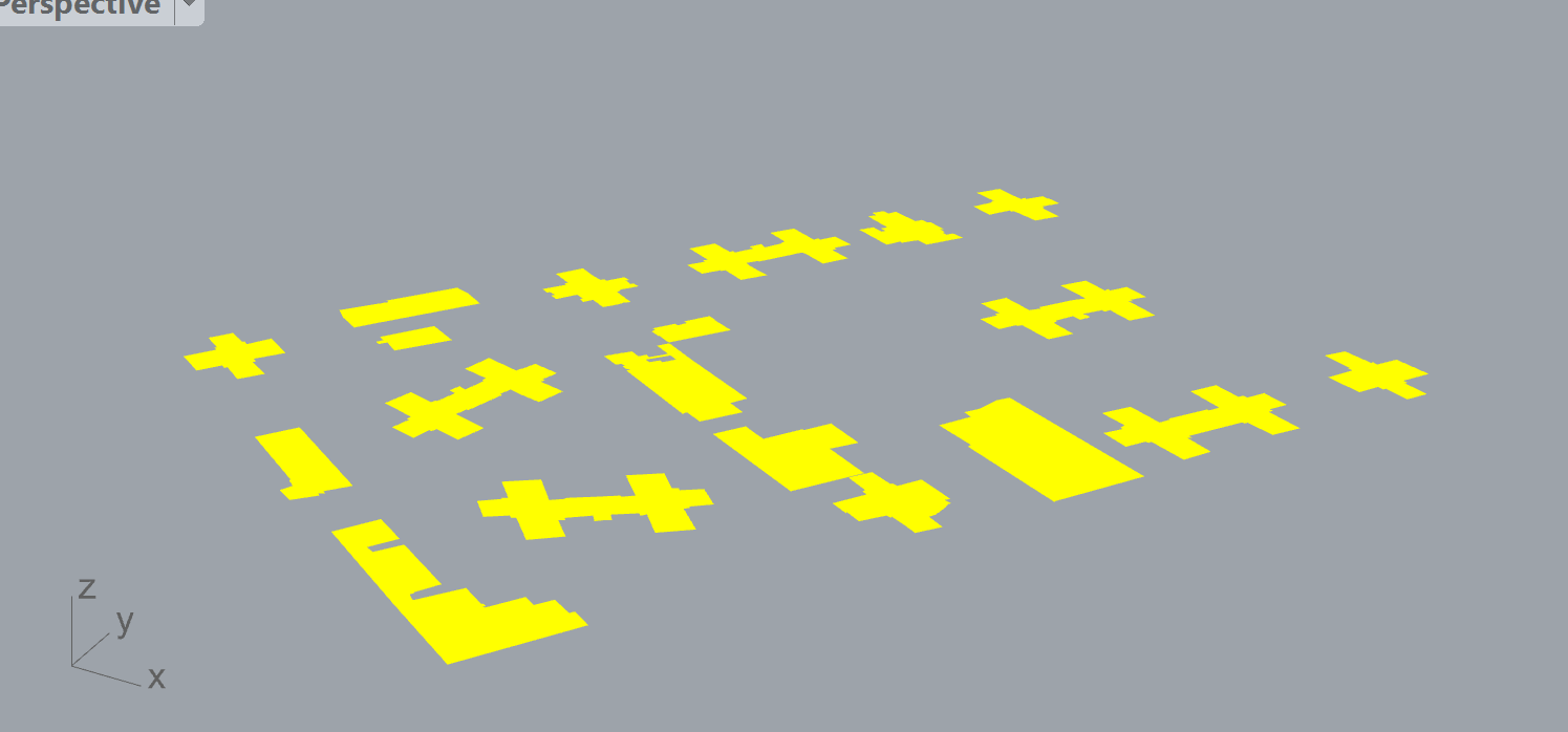
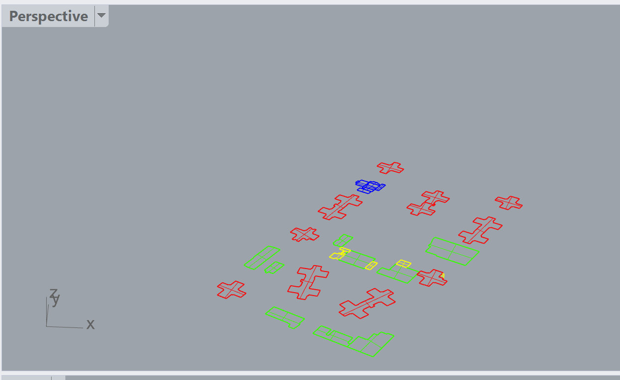
Hi there. I am just learning the whole Rhino/LBT package now. My primary and really only interest is with the Dragonfly/URBANOpt package. I see things coming together for the workflows in the Dragonfly from_building_footprints and the from_building_solids.gh, but I cannot myself figure out how to actually manipulate the view data of the buildings themselves. If, for example, I retrieve building footprints from the OSM and I have them laid out in Rhino, how does GH/Dragonfly know which footprint is which(image1)? For example, how do I assign the footprint an attribute that the Dragonfly workflow can recognize?
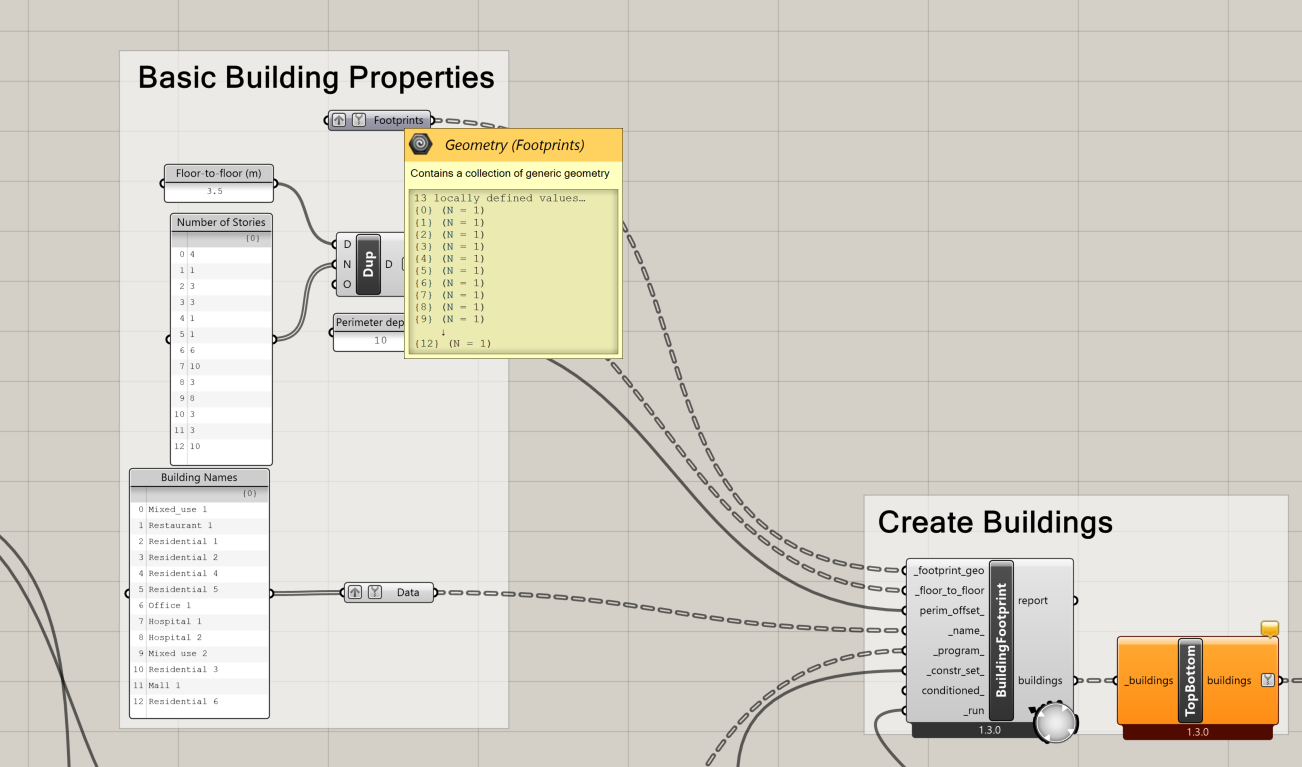
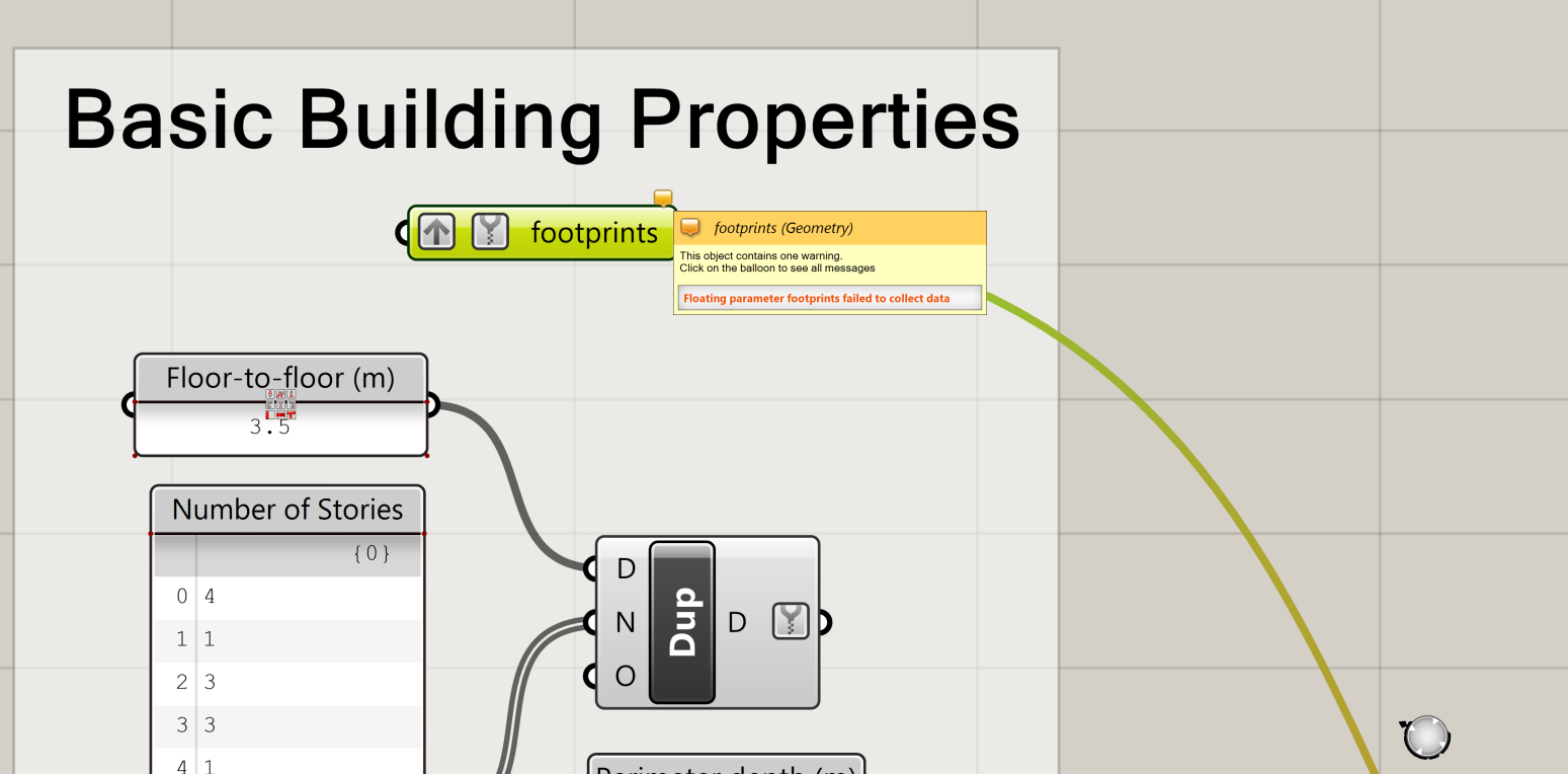
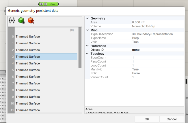
How do I create my own tuple array (image 2)? When I type in a geometry widget on my own, I do not know how to attach the “locally defined values” to that geometry widget. Must this be manually typed in somewhere? How can I modify these values?
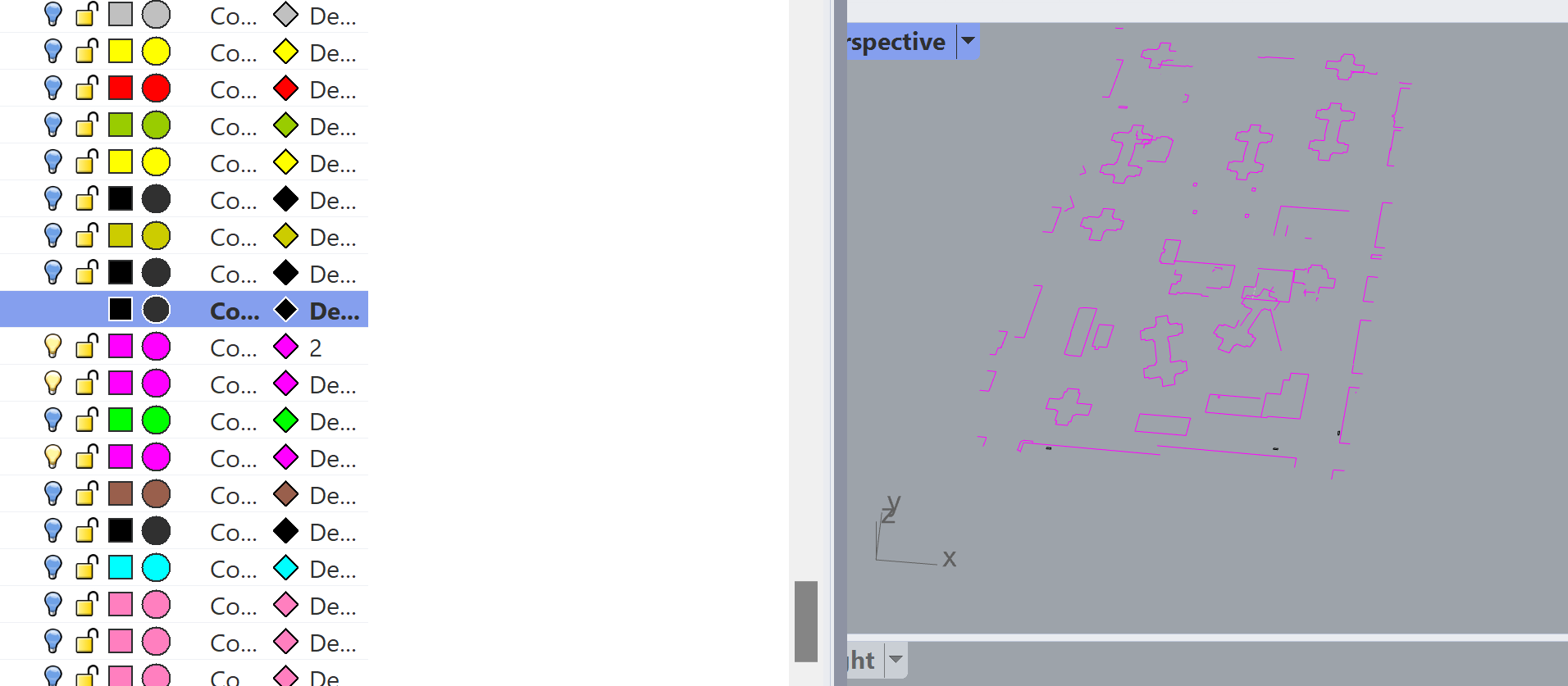
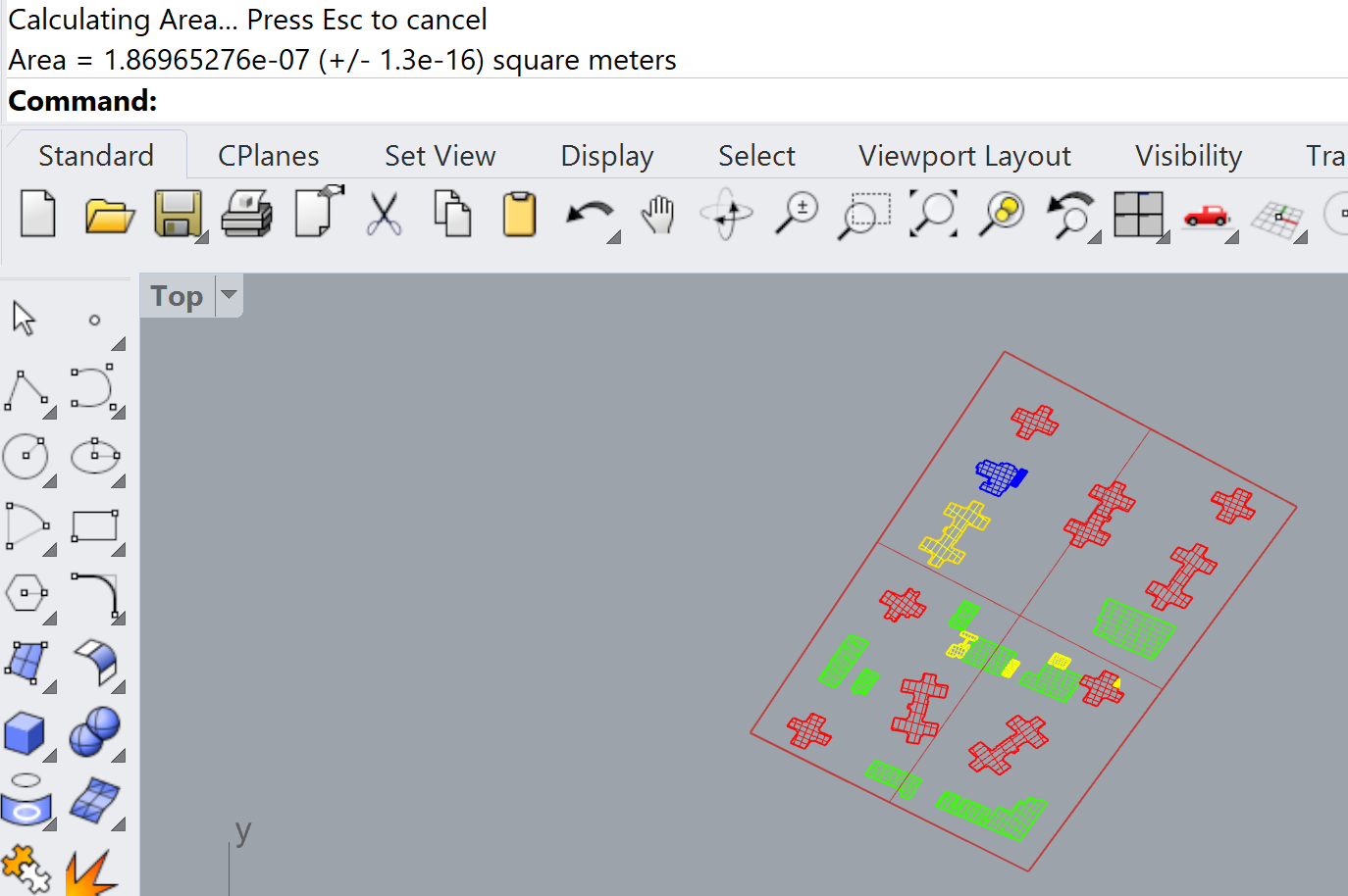
Regarding the building solids, it might be possible for me to extract these values from a .dwg (image 3). How would I take what drawing files I do have and extract only the relevant layers, then prepare them for the Dragonfly/URBANOpt workflow? Right now, I am using some OpenStreetMap footprints that appear more complete than what I got from the property manager, but the drawing files are probably more accurate geometries.
From the forums, I guess everyone comes to these tools with a background in CAD and is comfortable with the twelve hundred icons in Rhino. I am arriving primarily as a GIS-user and I am a bit lost. I think just a basic intro would help get me over this hump.
Python not recognizing the multiple geometries attempt:
I am able to see the trimmed surfaces in the geometry widget. None of these objects show an area in grasshopper, but they do have an area in rhino3d.
edit2: Here is the answer. In the rhino pane select the footprints to assign to the grasshopper geometry group. Right click the geometry widget in your dragonfly workspace and select ‘set multiple geometries’. The list of geometries for that building footprint type should now populate in the geometry widget.
Thank you for your time.
Best,
Nick