I noticed that too
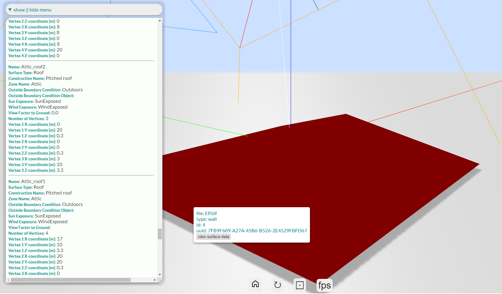
Looking to the Surface data for, say, Attic_roof2 in the JSON Tree Viewer - in the data menu at the bottom of the left menu, it shows the lower Z coordinates with an elevation of 0.3 - and that is what is currently being applied.
So this Zone origin thing is new to me. Are there many ad hoc data set modifiers like this? Why should the “Definition of a thermal zone” modify core geometry? My first thought is “Wow! this could be trouble. First you draw something then you have to hunt around for things that might tell you to redraw it” but I assume that such a feature must do wonderful things for some people.
Thanks for the heads-up though, I guess.